Oklahoma’s Unique Shape Tied to Texas’ Slavery Law Evasion
They probably taught us this in school, I don't remember.

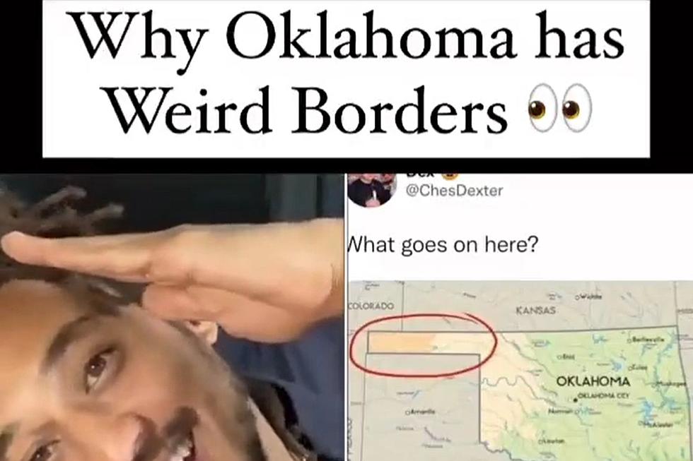
Because Texas is shaped so weirdly, I assumed the same folks had been responsible for determining Oklahoma's odd shape. But there is a specific reason OK has that little sliver jutting off the side there, and that reason is slavery.
Missouri Compromise
According to the National Archives:
This legislation admitted Missouri as a slave state and Maine as a non-slave state at the same time, so as not to upset the balance between slave and free states in the nation. It also outlawed slavery above the 36º 30' latitude line in the remainder of the Louisiana Territory
To sum it up, basically, there was an imaginary line drawn in 1820 at 36º 30' latitude which was a border for slavery. Every state above it did not permit slavery, every state below it did.
Texas ducked the border.
As the guy in the video below puts it, Texas basically ducked under the border by chopping off the top part of the panhandle and attaching it to Oklahoma. I wonder if Texas even asked? Probably just told Oklahoma, "Here, take this gift, more land."
I you would like to know more, check out the entire story here.
10 of the Top Venues in Texas to Watch a Concert
8 Best Pizza Restaurants in Texas With Dude's Names
The Best Hidden Gems in Texas
More From 106.3 The Buzz


